Manor Park and Hempstead Fields
Residents Association
Maps
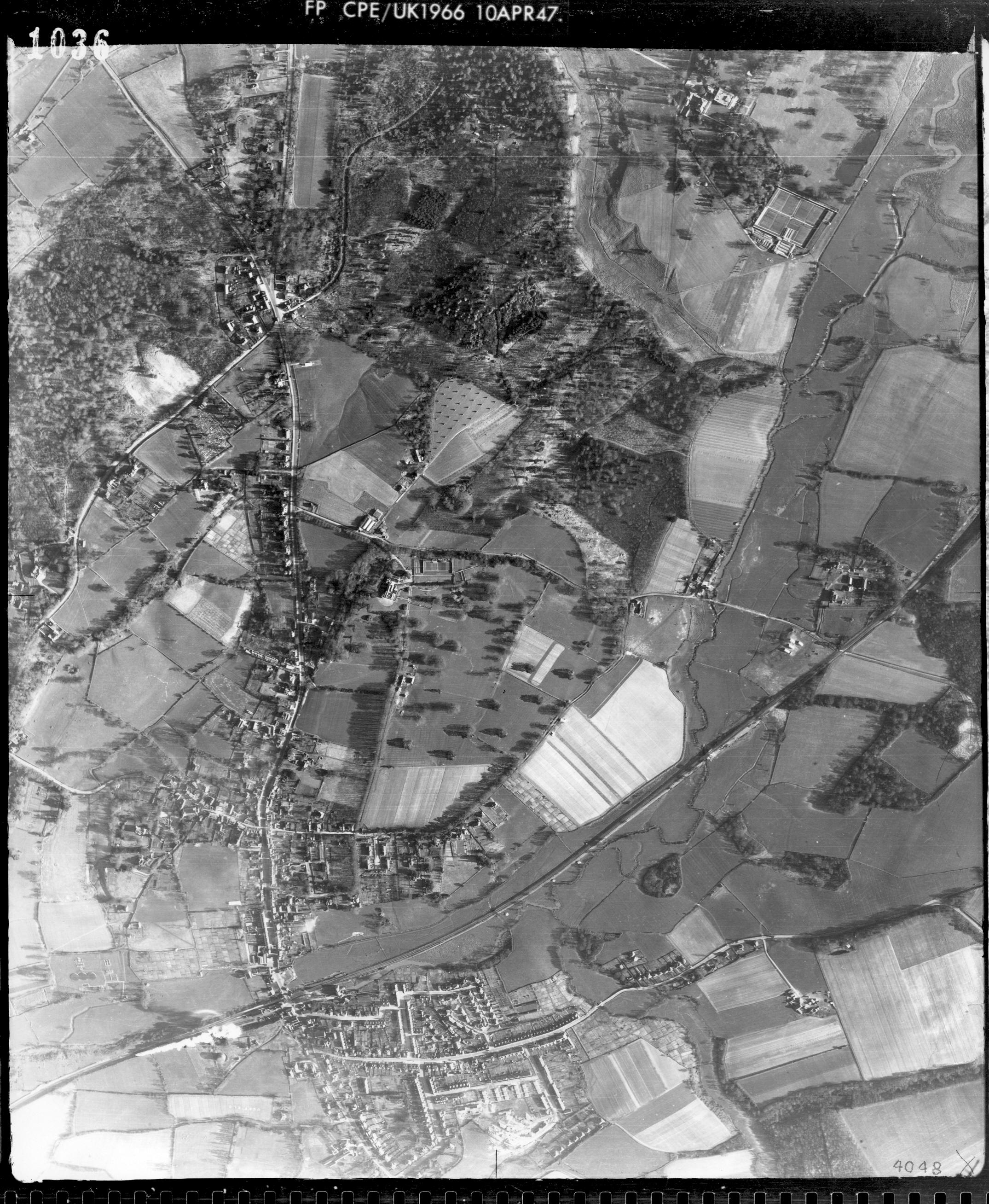
Street map showing the boundary of the Manor Park and Hempstead Fields Residents Association
This link will take you to a 1940's aerial photo of the area (you may need to rotate the image)
http://www.sussex.ac.uk/geography/researchprojects/sussexairphotos/1940/7-1036.jpg
